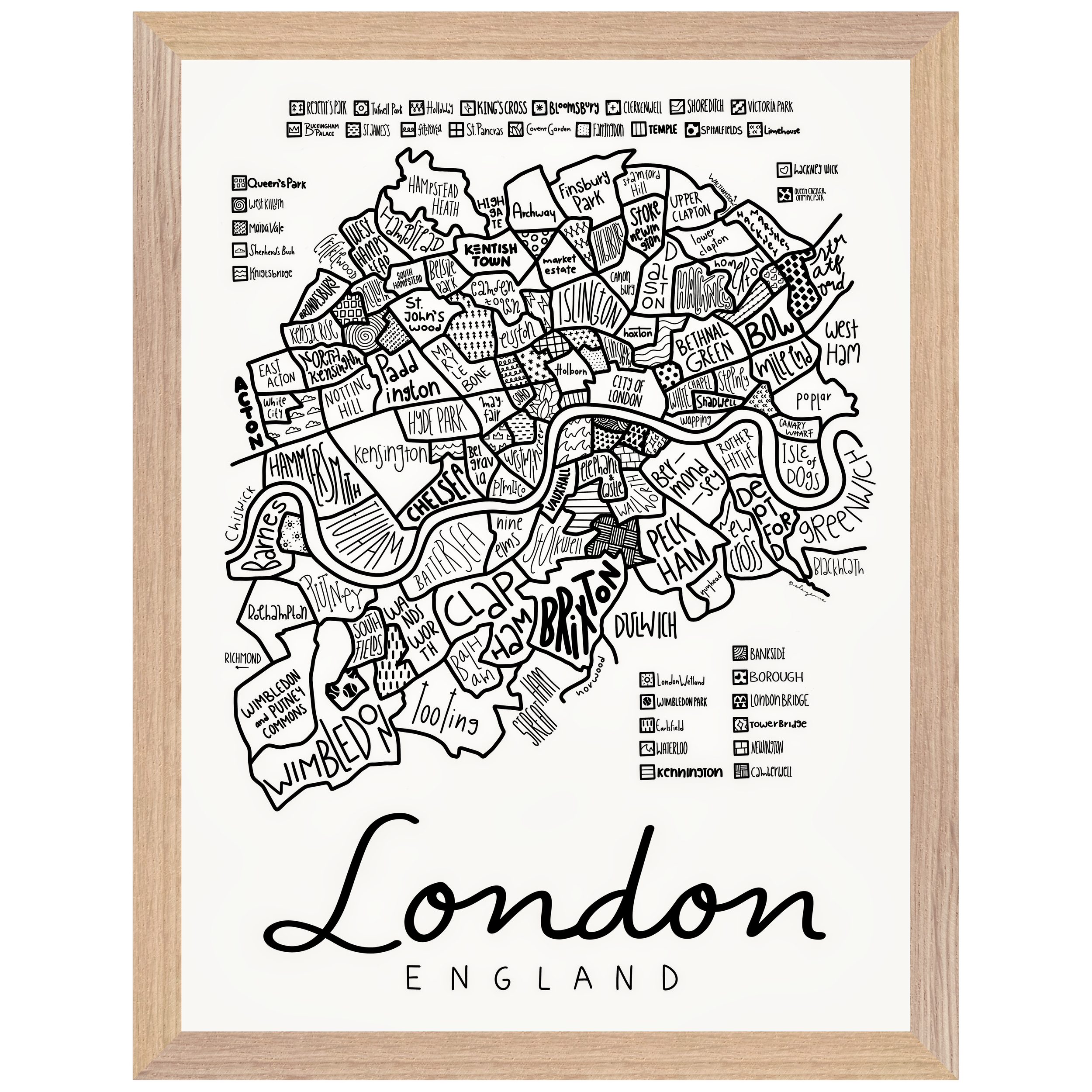
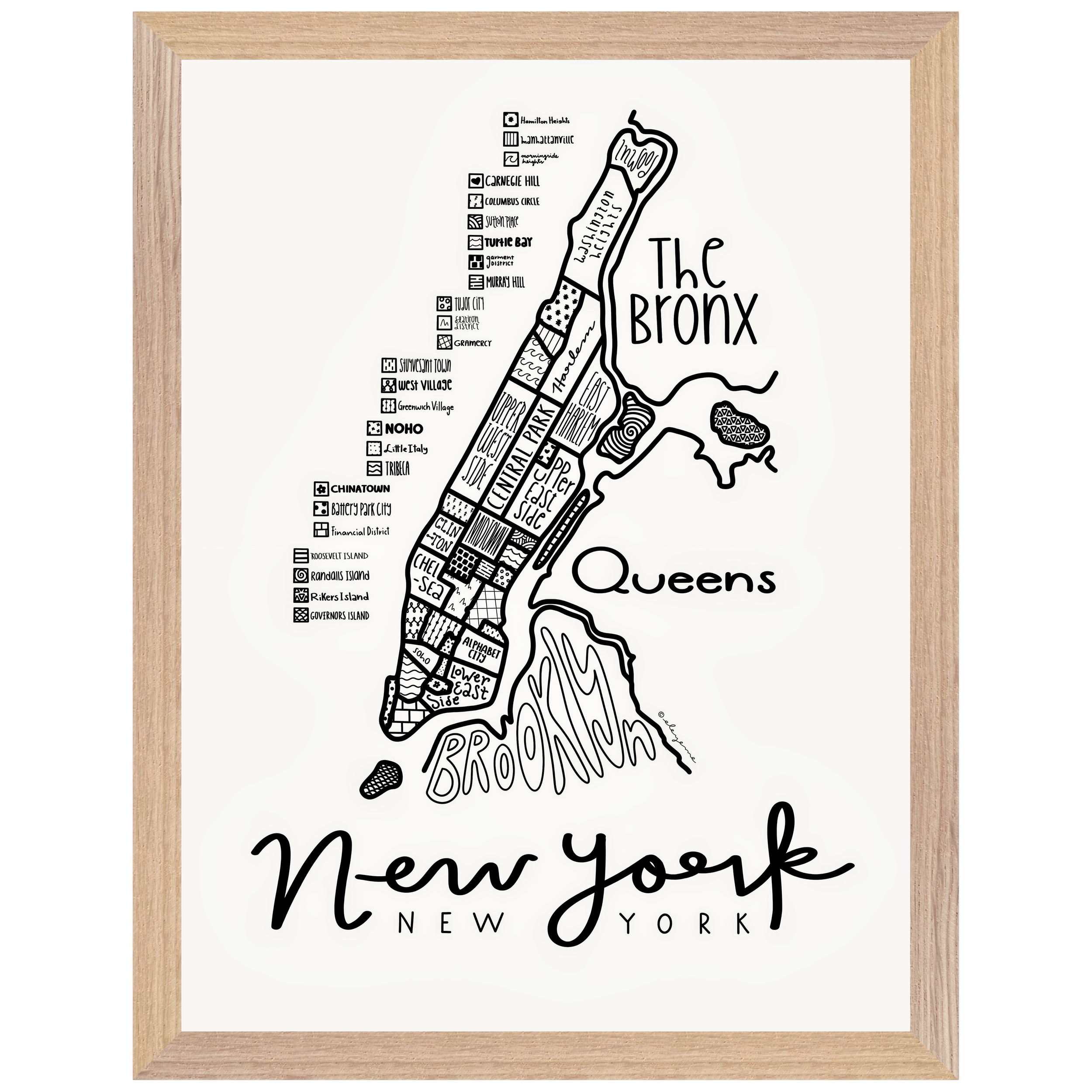
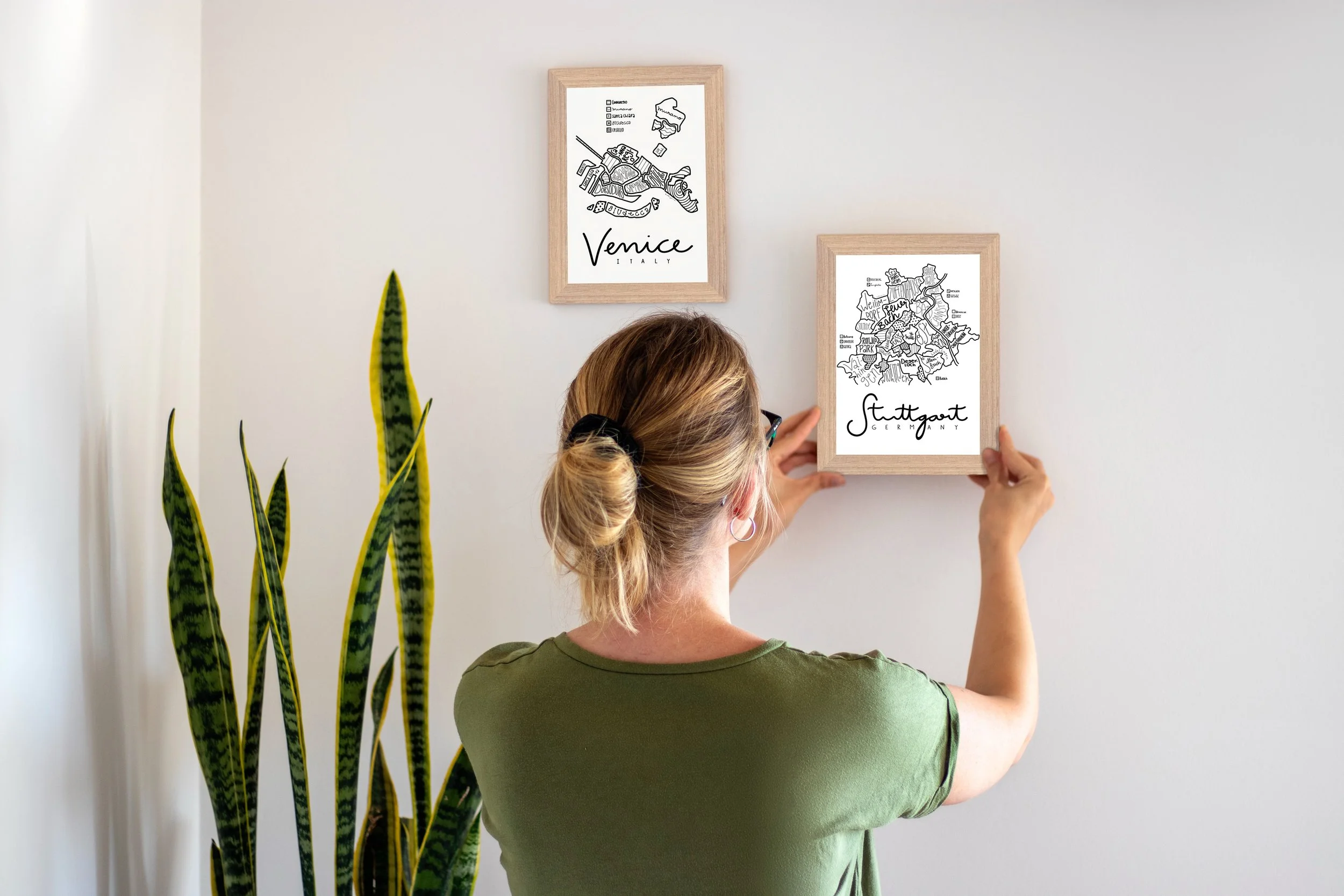
Illustrated City Maps – by eleyeme
Explore hand-drawn illustrated maps of cities around the world.
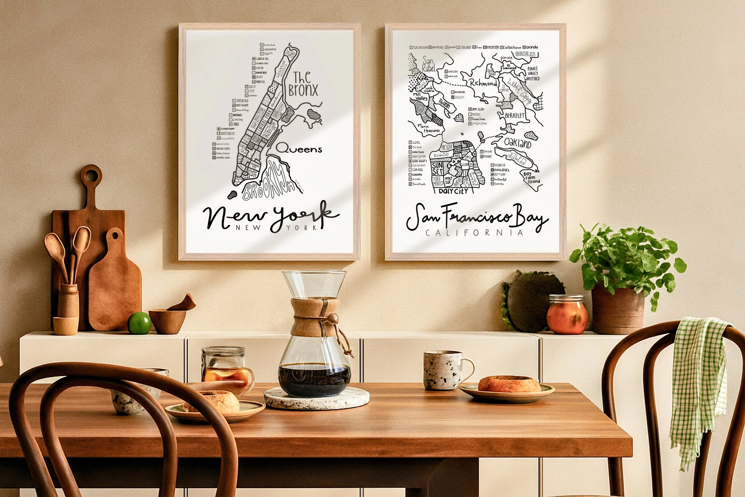
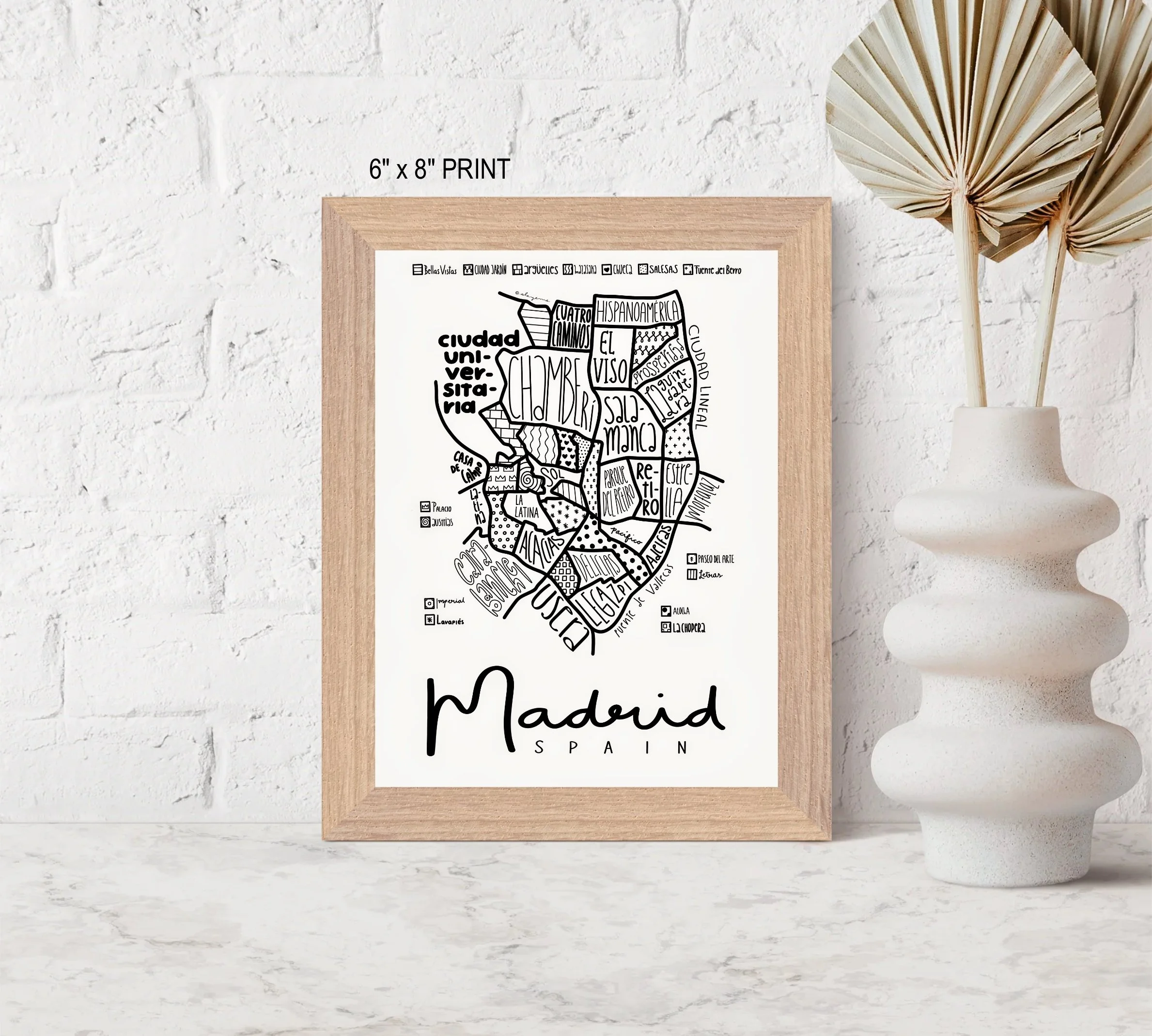
Each map features detailed linework, modern minimalism, and neighborhood-level character — designed in Seattle, available worldwide. Created by Liam and Michelle (eleyeme).
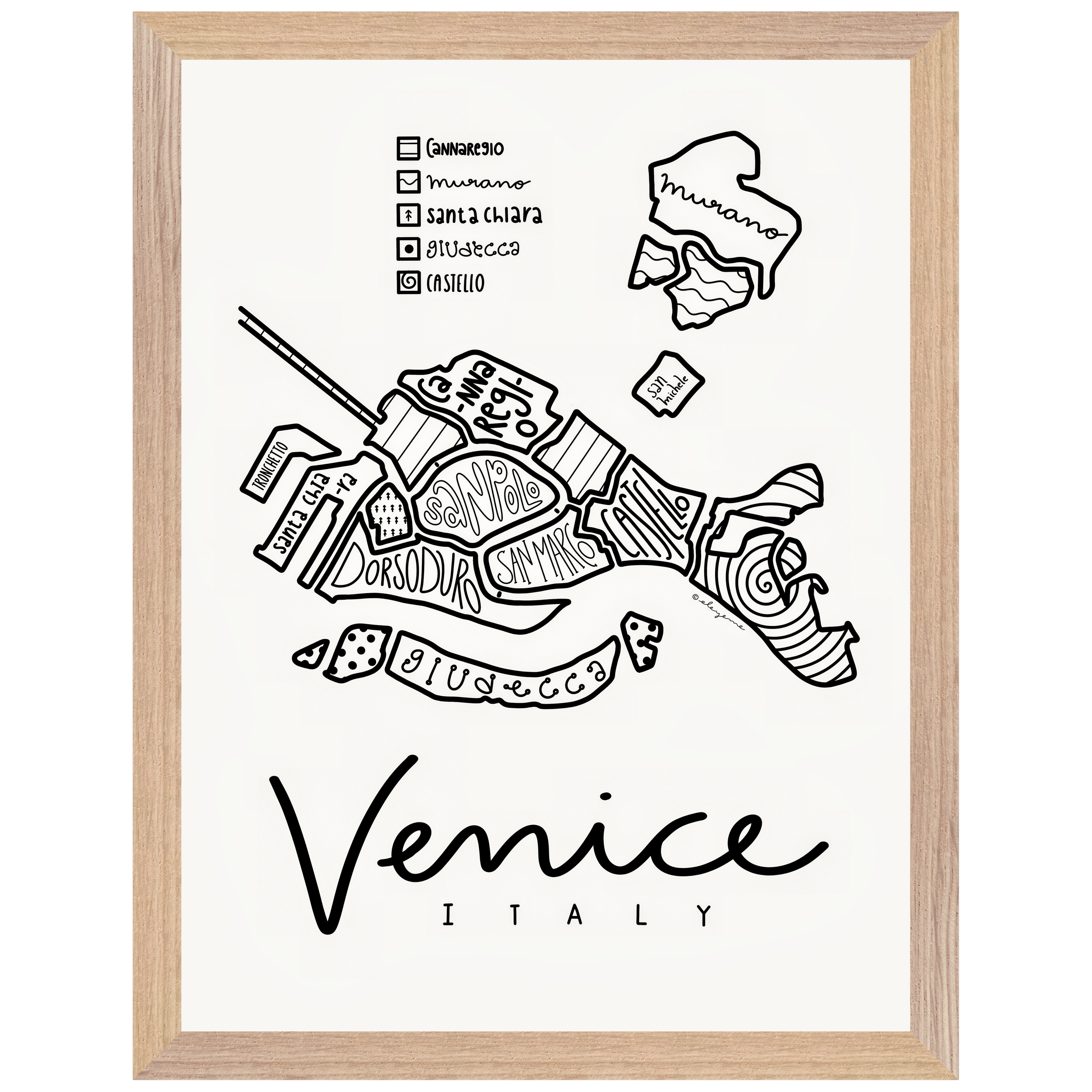
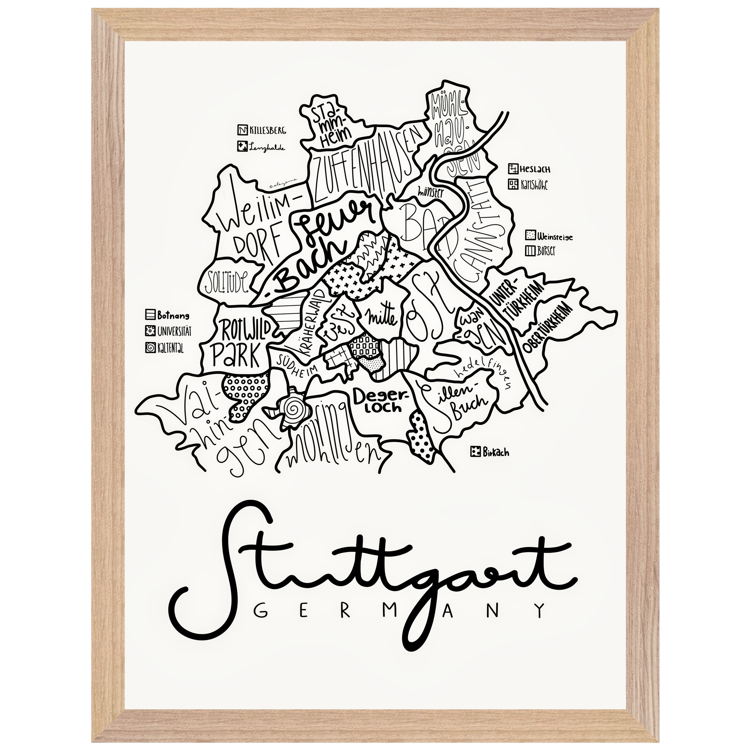
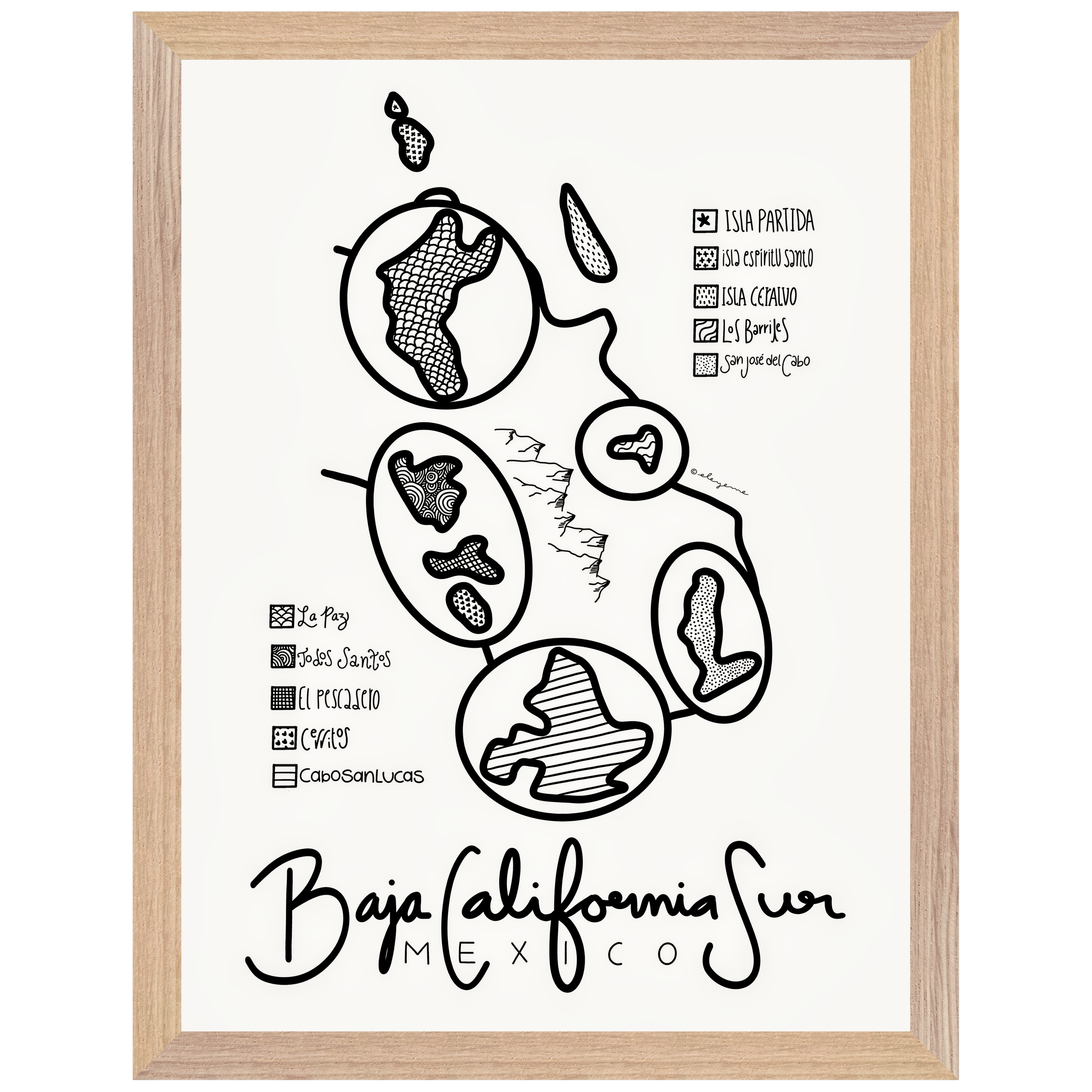
What goes into a map? A lot of time, brainpower, and brush and eraser strokes. Sometimes, it’s perfectly clear where neighborhood boundaries lie. Just kidding. That never happens.
What lines define a neighborhood? Ask a hundred people and you’ll get a hundred different answers. Even when hard lines exist, neighborhoods are a subjective mapping of something more meaningful than lines on paper. Neighborhoods are defined by the people who live and create within them.

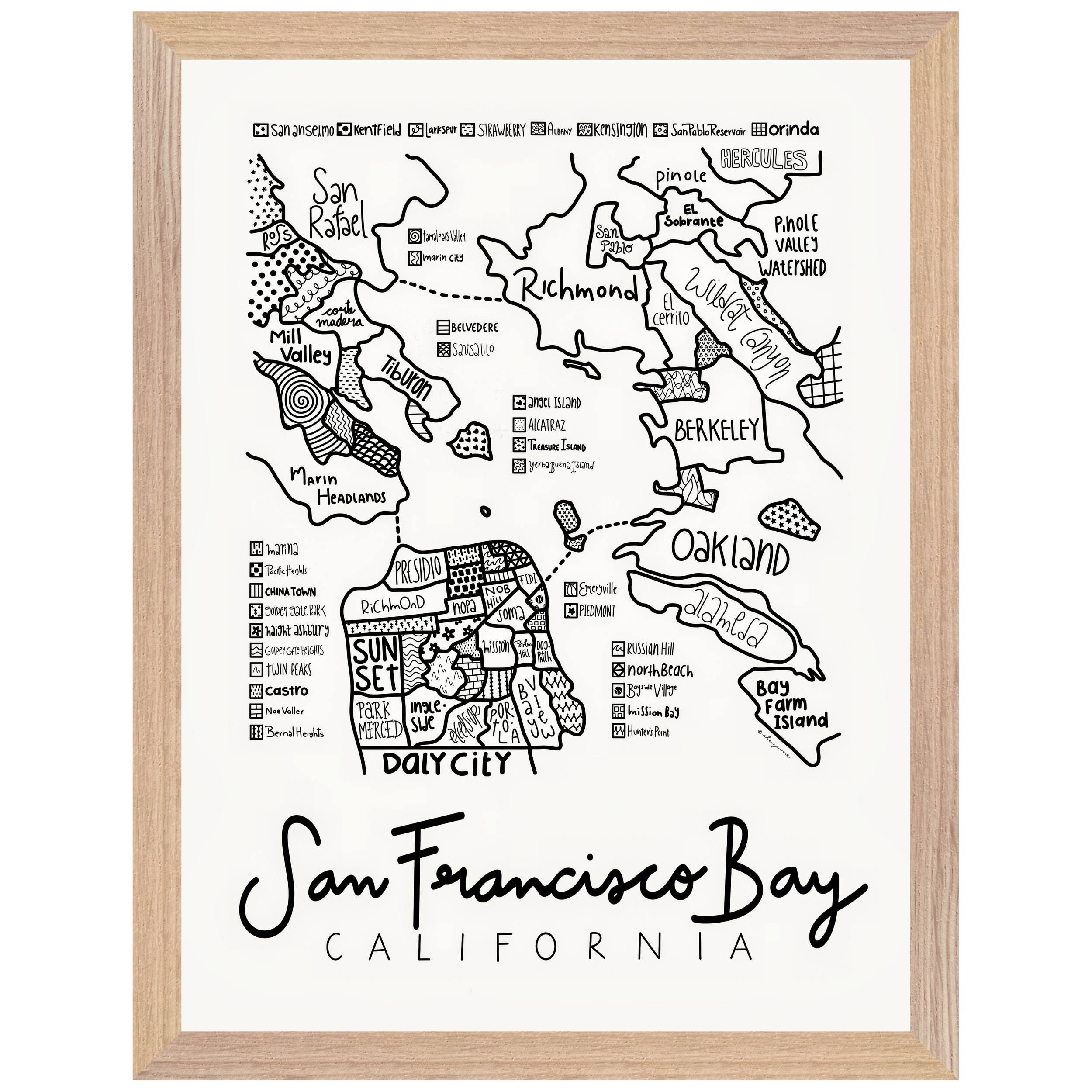
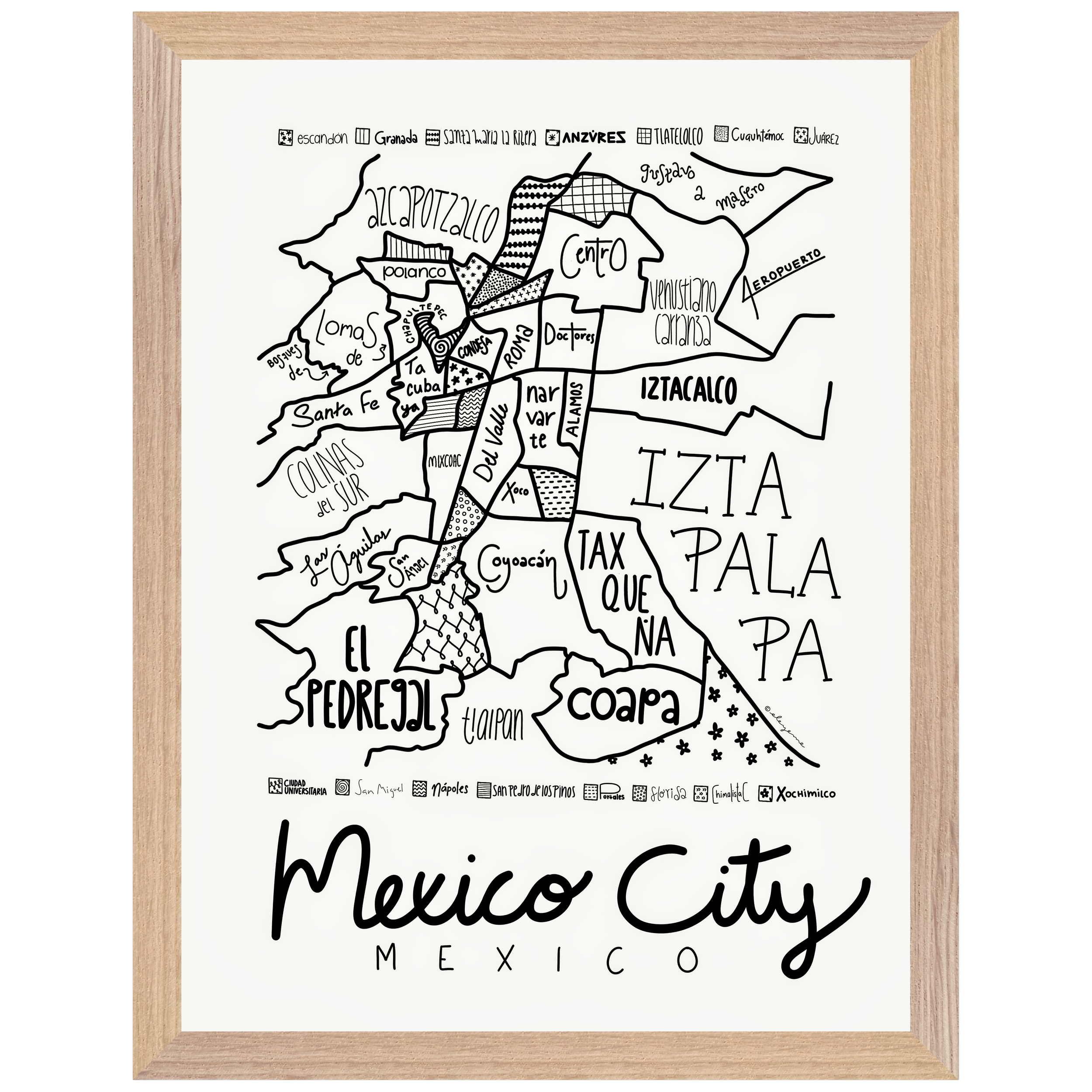
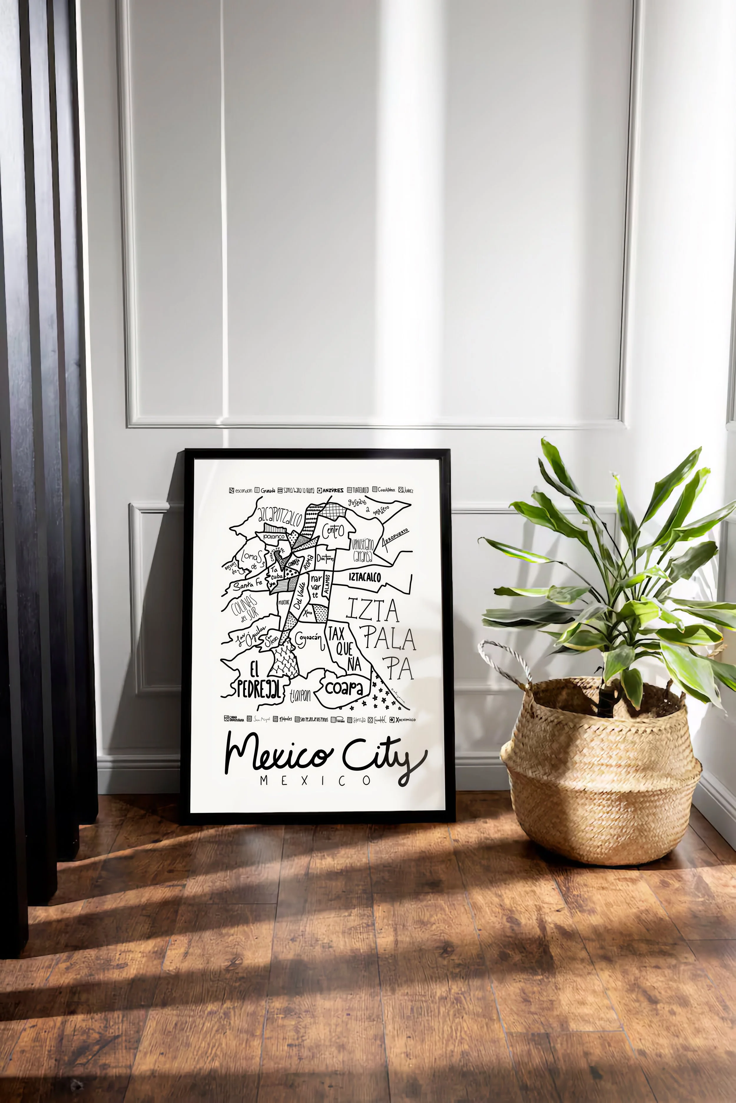
Now based in Seattle, WA, Michelle and Liam have spent a number of years living in Michelle’s hometown of Mexico City, MX, which became the original subject of what began as a simple shared pastime.
As one of the largest and most intricate cities in the world, the neighborhoods of Mexico City quickly challenged Liam and Michelle to find the perfect balance between cartographic accuracy and cultural faithfulness.
Mexico City has nearly 2000 officially recognized neighborhoods (colonias). Yet for all its challenges, Mexico City doesn’t take the crown for most time-consuming map project.
In 2025, Michelle and Liam spent three months living in London, mapping the city and its neighborhoods. Even so, London has proved the most time-consuming undertaking so far, due to its dozens if not hundreds of hyper-local town centers, some of which are culturally very significant, but which overlap with larger designations and often have no clearly-defined boundaries.
All this is to say that Michelle and Liam take great care in finalizing their version of a map. We recognize that our maps are just one, well-researched version of what a place map can look like, based on as much personal experience as possible.
We sincerely hope you enjoy our maps as much as we enjoy making them.